Tropical Update June 4, 2020: Cristobal Weakens to Tropical Depression
Storm will restrengthen a little and become a very large rainmaker for Gulf Coast into Mississippi River valley
June 2020 was the 29th-warmest June in the 132-year national record (1895–2026), at 70.3°F against a 1991–2020 normal of 69.5°F (+0.8°F).
June 2020 was the 40th-driest June in the 132-year national record (1895–2026), at 2.7in against a 1991–2020 normal of 3.1in (-0.4in).
NOAA/NCEI Climate at a Glance, contiguous United States. This is the observed record for the month, not a score of anything said in this piece — the forecast ledger begins 2026-08-17 and cannot reach earlier posts.
12:00 PM EDT
Showers near the center of circulation of Tropical Depression Cristobal have become much less intense but the overall circulation is massive. This is being called the “Caribbean gyre” and will eventually detach from its Central American anchor point and head north taking boatloads of tropical moisture with it.

Over the next few days, the storm will reemerge over the Gulf of Mexico where the waters are quite warm. Landfall is expected late Sunday or early Monday along the Louisiana coastline but the effects of heavy rain and surge/surf will be felt much sooner.
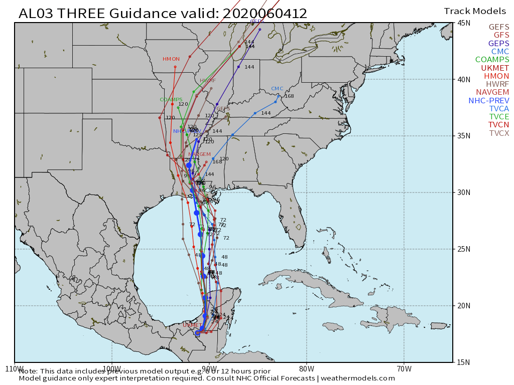
Heavy rainfall up the Mississippi River valley into the Great Lakes will be a major threat next week.
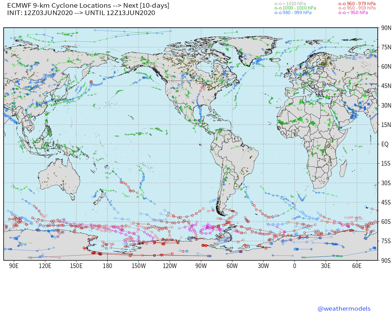
The Eastern and Western Pacific remain quiet for the next 10-days+
- Milepost
- 18 · laid 2020-06-04T16:40:28.486000Z
- Source
- https://weather.substack.com/p/tropical-update-june-4-2020-cristobal
- Digest
- 6fad32877a20950de33d831caafd2a1d543a7eeaae5bfdeac8488ed5ce69a523
- Machine
- JSON